Discovery Atlas for Wales
Find somewhere worth remembering.
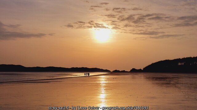
Find roads, beaches, castles, viewpoints, coves, old stories, and wild edges that turn a free afternoon into a day with a reason.
Begin with Anglesey. More of Wales is being charted one real place at a time.
Manually curated · Practical guides included · Built county by county
Some days you want quiet. Some days you want the edge of the country.
Choose the feeling, not the postcode. Start with a mood and let the place answer.
How it works
Find Wales by feeling, not by search bar.
Start with the kind of place you want — quiet, wild, historic, coastal, romantic, or worth the detour. Atlas of Wales turns that feeling into real places, practical notes, and guides you can actually use before setting off.
1Choose a mood
Tell it how the day should feel
Calm, wild, romantic, or storied — before you pick a place at all.
CalmWildRomanticStoried
2Open a marker
See what it's really like
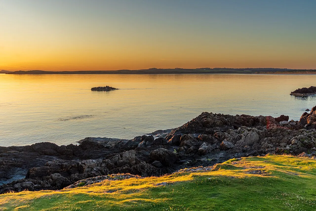
Its light, its access, and what it's actually like to stand there.
3Read the field notes
Check the practical stuff
Tides, parking, and the walk in — the details that actually shape the day.
Tide timesParkingThe walk in
4Ready to explore
Go and enjoy the day
Pick the place that fits the mood, check the notes, and head out knowing what to expect.
No filler. No generic rankings. Every place is chosen for atmosphere, access, and whether it's actually worth your time.
Anglesey is open. The rest of Wales is still being charted.
This is the actual product. Anglesey is fully mapped and live now; open it and the whole island is one tap away. The map shows where places are; the Atlas shows where to start; each guide tells you whether a place is worth your day.
Charted slowly and properly, one county at a time.
10
Anglesey places, each one stood in
1
island mapped in full
Soon
Eryri, Pembrokeshire, the south
Explore the Atlas
Choose a county chapter, then follow the places, moods and routes that fit the day.
Open now
Anglesey
Coming later
Gwynedd
Coming later
Pembrokeshire
County chapter
Anglesey Atlas
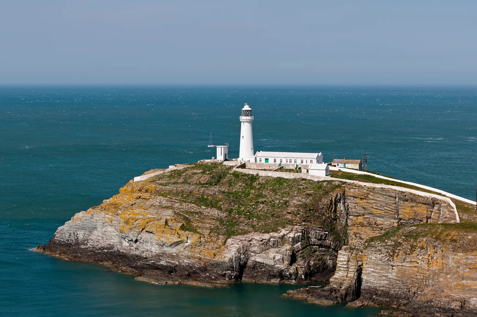
An island chapter of lighthouse walks, old stone, sea roads, copper hills and quiet beaches.
Best for
Starter places
Llanddwyn IslandSouth StackNewborough
BeachBeaumarisParys MountainChurch
Bay
The contents page of a small country.
The island, in ten places. Run down the index, each one real, charted, and waiting on the map, from a sea-cliff lighthouse to a tidal island of old stories.
The three layers
Find it, place it, then decide.
Three layers do one job between them — help you choose where to go, and know what you'll find when you get there.
One marker. Half a day you'll remember.
A pin on the Atlas of Wales isn't a dot; it's a place we've actually stood. Llanddwyn is a tidal island off Newborough: check the tide, walk out past the old pilots' cottages, and the lighthouse opens onto the whole sweep of the strait.
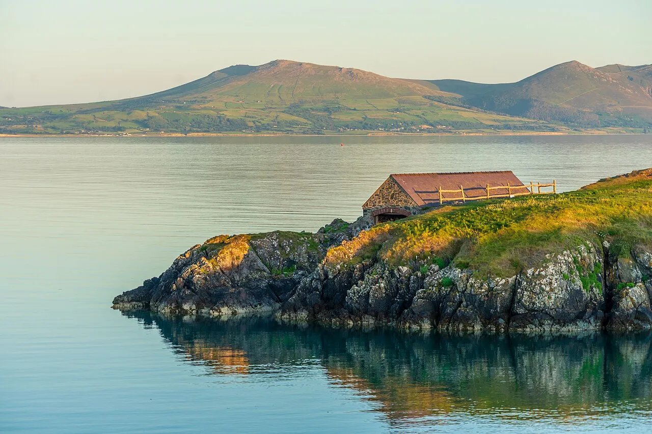 The old boathouse, low light
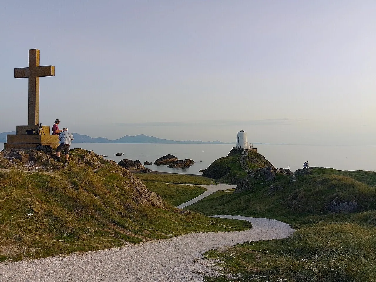 The cross and the old light
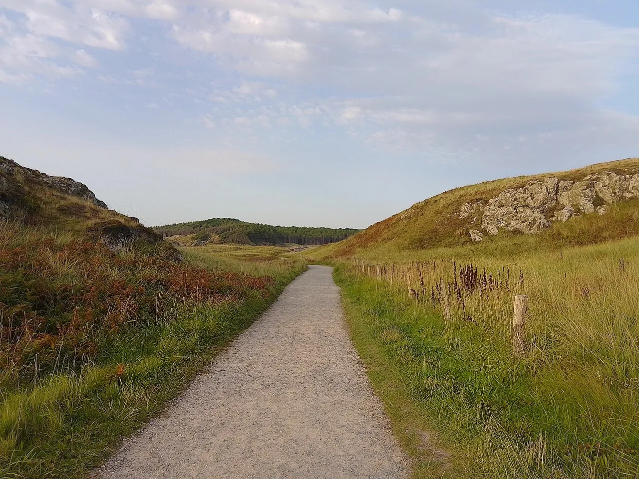 The path that keeps going
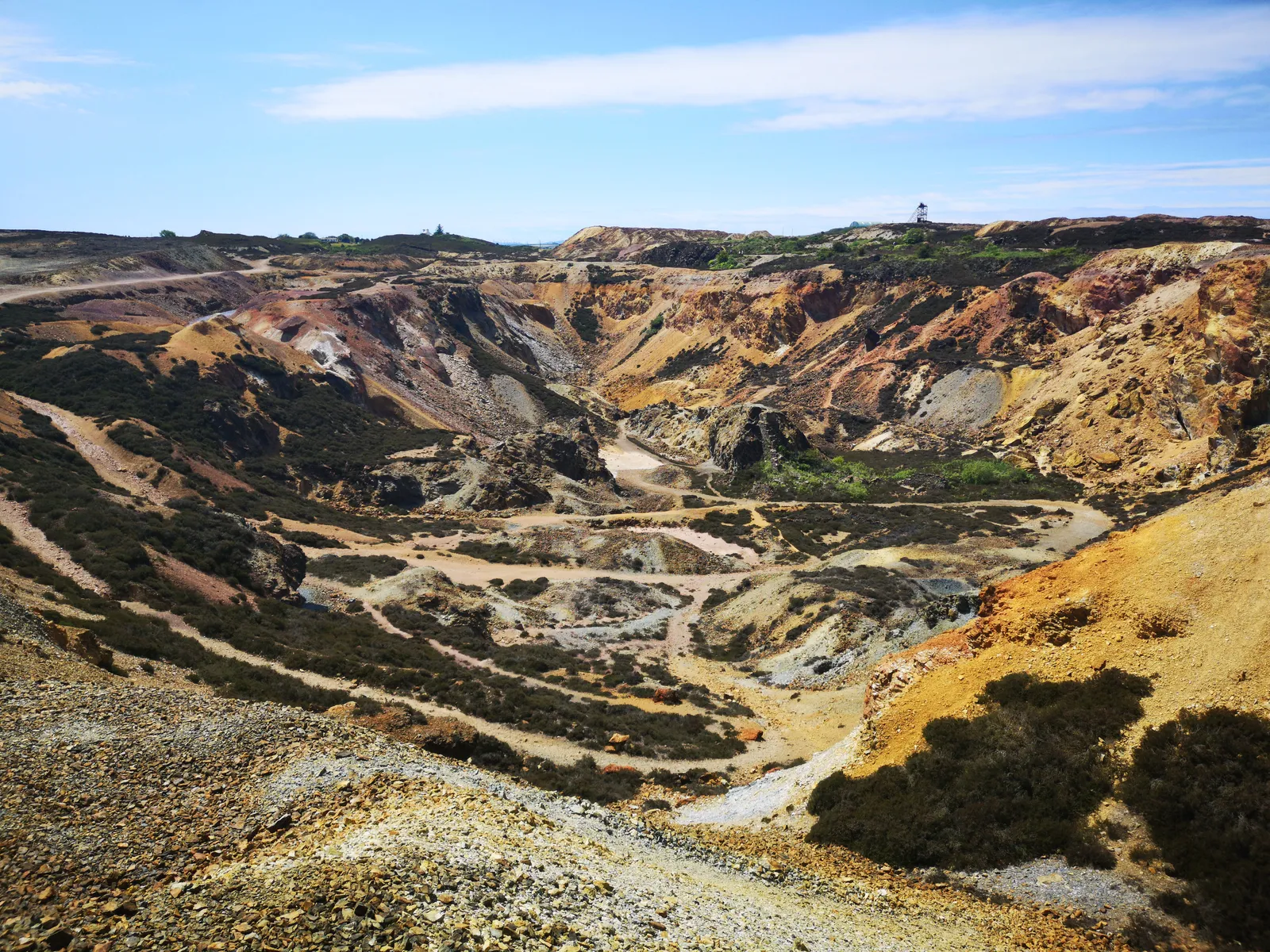
Parys Mountain · Amlwch
Some places don't look like Wales at all.
Two centuries of copper mining left the ground here burnt orange, rust red, and violet — a strange, quiet moonscape above the north coast. It's a fifteen-minute walk from a car park most people pass without slowing down.
Start with Anglesey. Go before it becomes obvious.
Anglesey is open now — ten places, charted properly. Eryri, Pembrokeshire, and the rest of Wales are still being mapped. Pick one, check the tide, and make the drive.